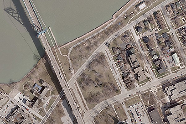
 The city has donated a set of high-resolution aerial photographs of Windsor to the Leddy Library.
A set of high-resolution aerial photographs of Windsor, newly added to the Leddy Library’s Academic Data Centre, will support a variety of uses—from urban and regional planning to emergency management and response to asset management, says data librarian Kristi Thompson.
“This is the highest resolution aerial imagery available for the city of Windsor,” she says. “University faculty, students and staff are invited to take advantage of this data for research and teaching purposes.”
The photos—more properly called digital orthoimagery— cover the entire city of Windsor and consist of 1,344 tiles each covering an area of 1 km2 with a spatial resolution of 10 cm. The sets vary by year, available in greyscale for 2000, 2002 and 2004, and in colour for 2006, 2008, 2010 and 2013.
High-resolution aerial images like these are usually very expensive, Thompson says. The municipal government donated the material in what she calls a significant collaboration between the City of Windsor and the University of Windsor.
“The city hopes that this partnership will lead to an increase in quality research on Windsor,” says Thompson. “Our goal is to continue working with the city to obtain more municipal data for the UWindsor community, and potentially collaborate in other ways as well.”
The orthoimagery datasets are now available through the Academic Data Centre. Imagery files can be delivered in two formats:
- a MrSid orthoimage of the entire city; or
- individual 1 km x 1 km tiles in geotif format.
The centre’s staff also provides support for customizing imagery by areas of interest. For more information about the aerial images, visit its website.
